- Collection type
- Object
- Description
- Flint lathe tool used in making bracelets of Kimmeridge shale. In glass-topped box with 1948.11.13.1-3, 5-12. [LM 'DCF 2004-2006 What's Upstairs?' 11/10/2005]
- Geographical reference
- England Dorset Purbeck Kimmeridge
- Date / Period
- Archaeological period: Romano-British, uncertain Archaeological period: Iron Age, uncertain
- Date collected
- By 1948
- Acquisition information
- Donated: 1948
- Materials and processes
- Material Flint Stone
- Dimensions
- Length: max 35 mm
- Object numbers
- Accession number: 1948.11.13.4 Other PRM accession number: 1948.11.13d
- Research and responses
Related Documents File - Letter from J. Bernard Calkin to Beatrice Blackwood dated 18, October, 1948, [same information as given in accession book entry]. [GI 22/1/2002]
The English Heritage maintained National Monuments Record contains an entry on the Iron Age - Romano British shale works and settlement at Kimmeridge [SY 9071 7918] under monument no. 456559. The record states the following about the site: Iron Age and Romano-British inhumation burials,working floors and occupation debris indicating shale working and salt-boiling have been found at Kimmeridge Bay in the cliff about 50ft above sea level west of Gaulter Gap. Much material has been excavated from the site by Miles, Austen and others since `coal money' was first recorded here by Hutchins in 1768. The sequence of occupation has been determined by clearance of the cliff-face at seven points by Dr. Henrietta Davies and excavation of some 80 square yards close to it by J. B. Calkin (SY 90707917); the site extends some 240 yards west of the Gap (SY 90787911 to SY 90607923) and perhaps for some 200 yards inland. The record notes that artefacts from the site are also held by the British Museum, Dorset County Museum, Christchurch Museum and the Institute of Archaeology [UCL]. The record can be accessed online at http://pastscape.english-heritage.org.uk/hob.aspx?hob_id=456559. [MN 12/06/2009]
John Calkin published an article on the shale armlets of Kimmeridge in 1955 [7 years after he donated this object to the PRM]. Full article reference: Calkin, J.B. 1955. Kimmeridge Coal-Money: the Romano-British shale armlet industry. Proceedings of the Dorset Natural History and Archaeological Society 75: 45-71. [MN 12/06/2009]
Search terms: Tool, Ornament, Technique, Arm Ornament
Further items to explore
 1938.35.1298Metal scissor candle snuffers. Rounded finger holes. The finger holes are made by curving the end of the straight arms or finger-blades. Both the finger holes and arms are completely unadorned. There is no boss around the screw. The snuffer box is dome shaped and unadorned. There are no feet. The tip is broken off and missing, although on the section left the letters 'P L' have been stamped. [MOBB [OPS move] 06/07/2016]1938.35.1298
 1928.68.464Fossil tooth of a shark1928.68.464
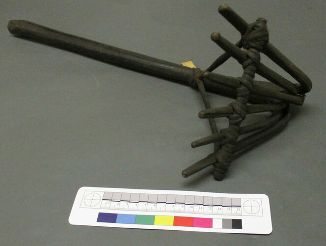 1923.84.578Wooden rake with a long cylindrical handle which has been bent and split at one end to produce six prongs. A wooden crossbar has been placed across the prongs to secure them in place. This is bound with cane and braced with cane to a perforation in the handle . [JC [OPS Move] 12/1/2017]1923.84.578
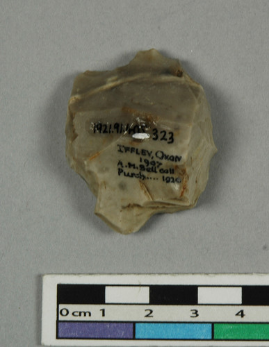 1921.91.405.323Flint flake, light grey in colour, roughly pyramidal shaped. [MJD DDF Body Arts Project 2010/2011 15/02/2011]1921.91.405.323
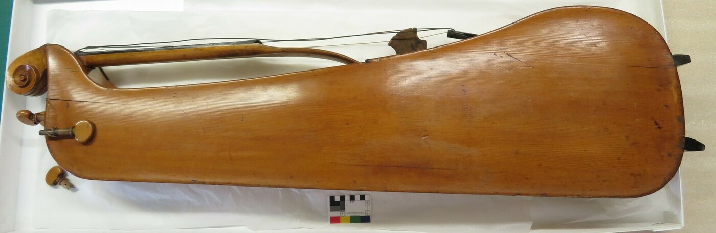 1938.34.651Experimental cello [RR 9/1/2020]1938.34.651
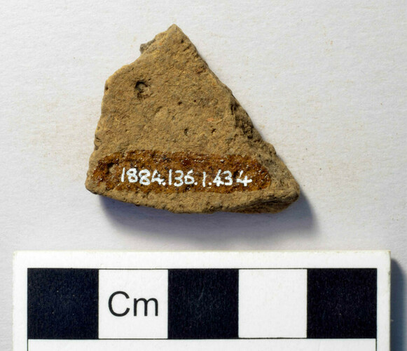 1884.136.1.434Ceramic sherd1884.136.1.434
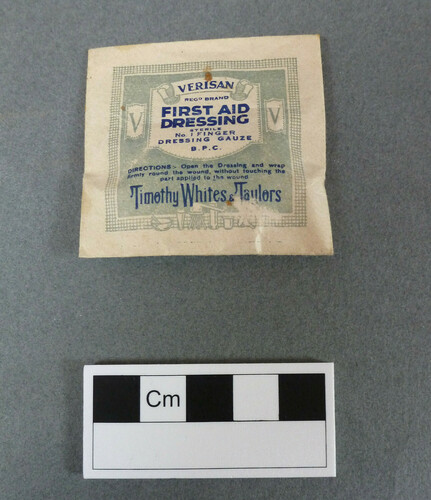 2012.21.28First aid dressing in paper envelope, part of a medical kit [See 2012.21 .2 - .53]. [FB 26/03/2012]2012.21.28
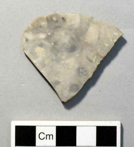 1884.123.51Stone flake1884.123.51